
AUTOMATED SPATIAL LAND ALLOCATION FOR SOLAR & WIND ENERGY.
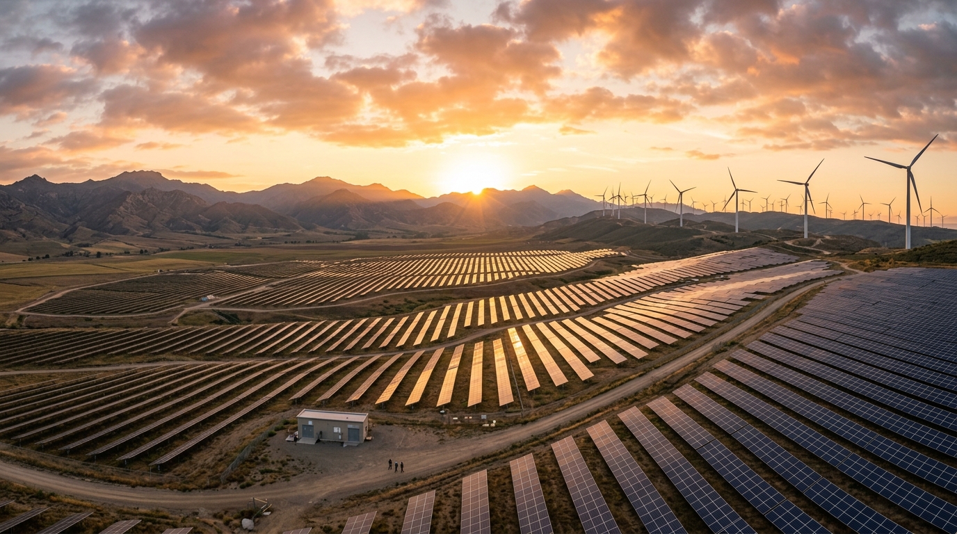
Official spatial GIS intelligence platform for NREDCAP Officers and Energy Department authorities. Evaluates parcel suitability, solar GHI, 100m wind density, 500m water buffer exclusions, and forest boundaries across Andhra Pradesh.
Andhra Pradesh Renewable Energy Leadership

Sri N. Chandrababu Naidu
Hon'ble Chief Minister, Government of Andhra Pradesh
"Our vision is to position Andhra Pradesh as India's premier Green Energy Hub. Through automated AI spatial GIS allocation, we deliver 100% transparent, fast-track statutory approvals for multi-gigawatt solar and wind investments."

Sri Gottipati Ravi Kumar
Hon'ble Minister for Energy, Forests & Environment
"NREDCAP's spatial GIS engine guarantees zero forest encroachment. By enforcing strict 500m water setbacks and a 10% forest exclusion policy, we achieve rapid renewable growth alongside strict environmental preservation."
Statewide GIS Spatial Land Intelligence
Automated spatial engines analyze ground coordinates against 11 government vector layers, 30m ISRO CartoDEM elevation rasters, and NIWE 150m wind atlas datasets across all districts of Andhra Pradesh.
1. Solar GHI & DNI Resource
- GHI Extraction (kWh/m²/yr)
- DNI & GTI Solar Vectors
- CUF & Annual Yield (AEP)
2. 100m/120m Wind Power
- 100m Hub-Height Wind Speed
- Weibull A & k Distribution
- Wind Power Density (W/m²)
3. Statutory Exclusions
- 10% Forest Overlap Policy
- 500m Water Setback Buffer
- 200m Settlement Buffer
4. APTRANSCO Grid Proximity
- Substation & Feeder Distance
- 132kV / 220kV Line Evacuation
- Automated Clearance PDF
| Pilot Village | District | Coordinates | ISRO CartoDEM Tile | Primary Suitability |
|---|---|---|---|---|
| Peddahotturu | Kurnool | 15.4114° N, 77.2943° E | cdnd43f_v3r1 (30m) | Solar & Hybrid Ridge |
| Polepalli | Sri Sathya Sai | 14.3010° N, 77.5479° E | cdnd43l_v3r1 (30m) | 100m High Density Wind |
| Sunkesula | YSR Kadapa | 14.6549° N, 78.2299° E | cdnd44g_v3r1 (30m) | Ultra Mega Solar Park |
AP GOVTNREDCAPISRO BHUVANESA WORLDCOVERMNRE INDIAEvaluates solar GHI, 100m wind density, and transmission line proximity with automated GIS clearance.
Trusted & Certified
Screening against forest boundaries and 500m water body buffers ensures fast-track clearance.
Services for a Sustainable Future
Solar Resource Mapping
GHI extraction, DNI, GTI, CUF estimation class rating, and expected annual yield (AEP per MW).
100m Wind Power Modeling
100m hub-height wind speed extraction, Weibull A & k wind distribution, and wind power density classing.
Forest & Water Exclusions
10% forest boundary conflict check (-100pt disqualification), protected areas, and 500m water buffer enforcement.